Skip to content
  • Home
  • Remote Sensing
  • Geospatial
  • GIS
  • Education
  • Opinion
  • News & Events
  • Newsletter
SpatioHub
  • Home
  • About
  • Blog
  • Contact
  • Privacy Policy
Subscribe
SpatioHub
Subscribe
  • Home
  • Remote Sensing
  • Geospatial
  • GIS
  • Education
  • Opinion
  • News & Events
  • Newsletter
GeneralGeospatialRemote Sensing

Determining Acquisition Dates in Esri’s World Imagery Basemap

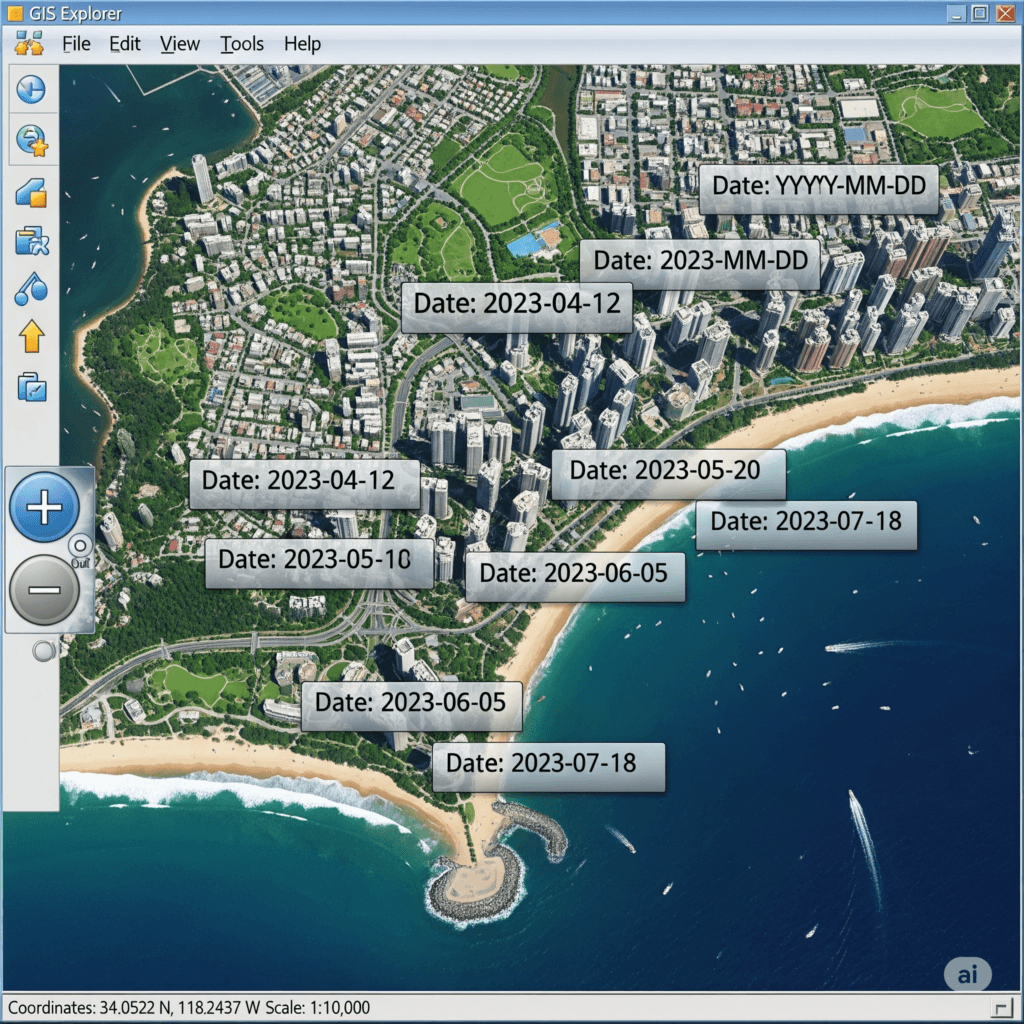
Determining Acquisition Dates in Esri’s World Imagery Basemap For Geographic Information System (GIS) professionals, the temporal accuracy of...
gomalhunzai@gmail.comAug 26, 2025Aug 26, 2025
Geospatial

Top geospatial tools in Python

Collection of top geospatial tools in Python Geospatial data analysis has become increasingly important in today’s world with the...
SpatioHubJun 14, 2024Jun 14, 2024
GeospatialGIS

Difference between QGIS and ArcGIS Pro

QGIS and ArcGIS Pro
SpatioHubJun 14, 2024Jun 18, 2024

Recent Posts

  • Determining Acquisition Dates in Esri’s World Imagery Basemap
  • Exploring the Geospatial: Must-Attend Conferences in 2025
  • AI for Remote Sensing in Geosciences
  • AI for Earth: The #AIForEarthChallenge2024 is Here!
  • Field Area Segmentation: Competition

Recent Comments

No comments to show.

Archives

  • August 2025
  • April 2025
  • July 2024
  • June 2024

Categories

  • General
  • Geospatial
  • GIS
  • News & Events
  • Remote Sensing
About Us

SpatioHub is the ultimate online destination for geospatial enthusiasts worldwide. Join our dynamic community today!

Useful Links
Contact Us


contact@spatiohub.com
+852-963-717-68

  • Home
  • About
  • Blog
  • Contact
  • Privacy Policy
Copyright © 2025 - Yuki Magazine Theme By WP Moose